Summit all 5 maunga’s within a 12-hour period between January 1st and 31th of March 2025
Submit the fastest known time for all 5 routes and win limited edition ‘Challenge Coin’
*Female and Male category
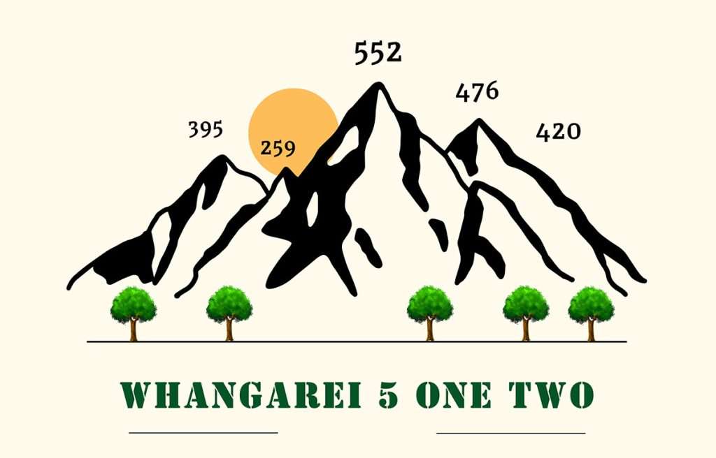
The Mountains
Parahaka
Lion
Horokaka
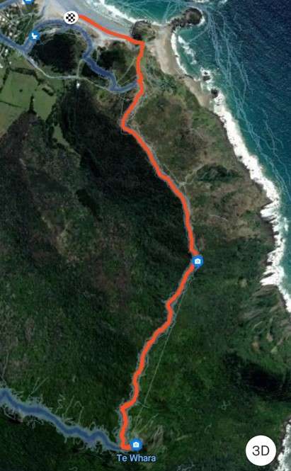
Breamhead
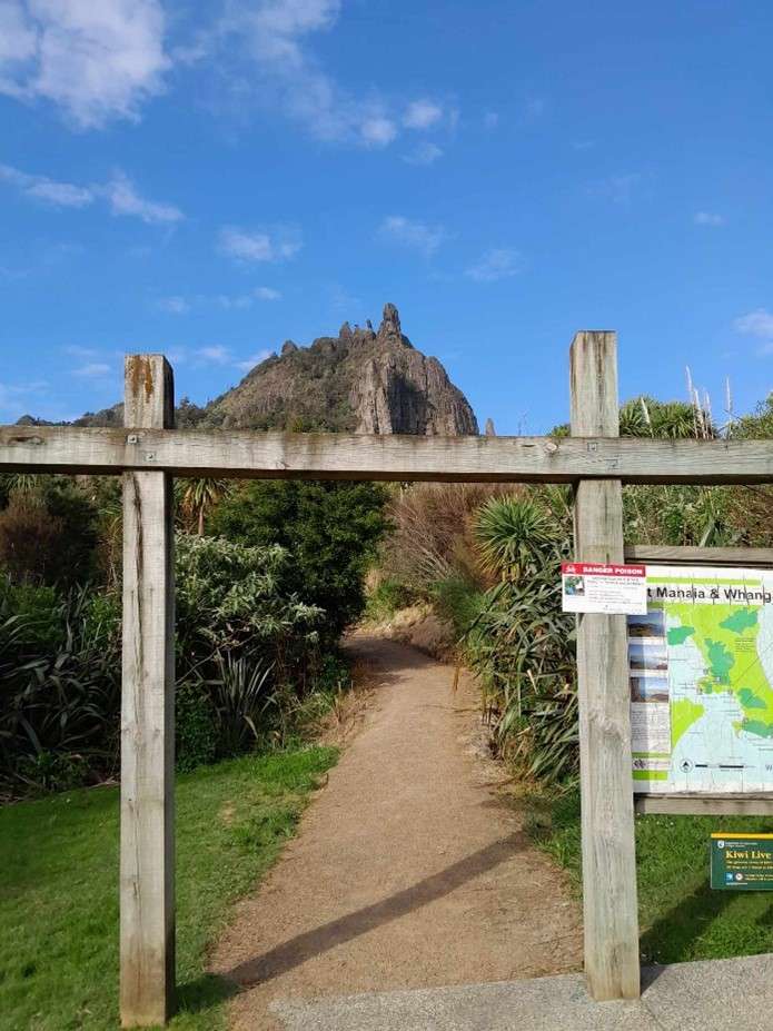
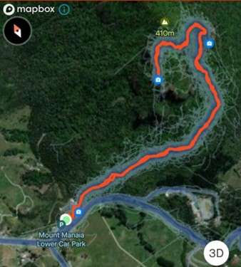
Manaia
The clock starts when you start your smart watch /tracking app/ or take a time stamp at the start of the first route.
Photos must be taken at the top of each mountain
Do both of the above, proof will be needed to receive the shirt.
Time will be measured on ‘Elapsed time ‘ for each return trip (watch can be stopped between mountains ) For those chasing the fastest known times.
For those just out getting it done you can start your watch at start of day and pause inbetween mountains and stop it at the completion of the last mountain.
The drive time between each peak is included in the 12 hours, so you must plan your travel. Time management will be key here.
It is up to you which order you would like to tackle each peak.
*Please adhere to all NZTA road rules.
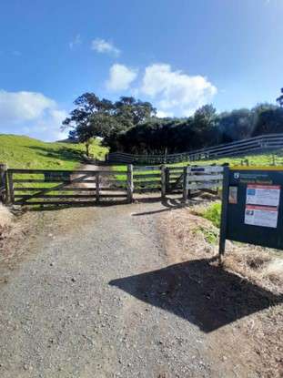
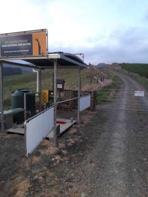
Kauri Die Back is in Northland, all the tracks have wash stations, PLEASE use the stations on way in and on way out of the out tracks to help prevent the spread of Kauri Die Back.
Please beware this is a trail running/Hike Challenge its not a walk in the park. You are responsible for your own wellbeing so don’t take unnecessary risk and use common sense.
Approx time and distances may vary , we will allow a small margin of difference based off different modes of measurement tools (Garmin vs Strava vs Coros etc.)
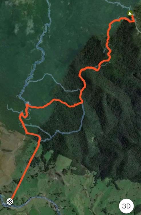
Below are the exact start and finish points to each mountain, distance and elevation gain
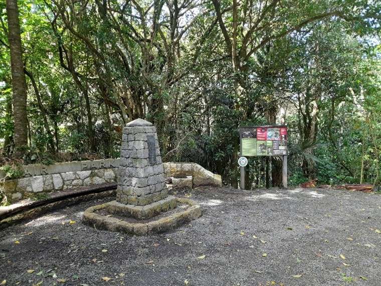
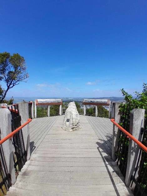
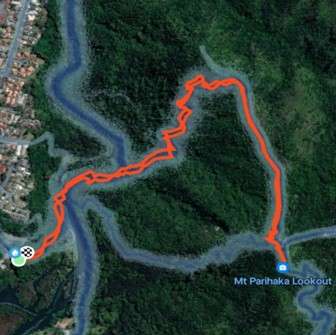
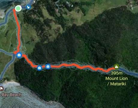
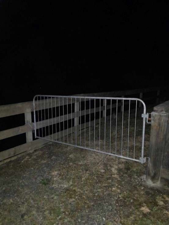
Starting point is at the wooden gate, hang a left and follow the Mt Lion route. The top is the finish of the steps top your left is an obvious look out at high point.
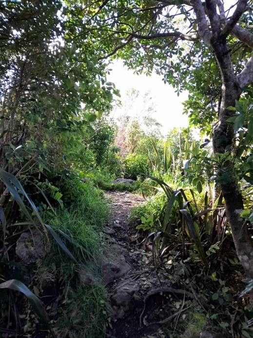
Steps, steps and more steps. Track is well maintained and obvious, shallow roots and some areas can get slippery if there has been a lot of rain. Sharp incline, take care coming down. Toilets and drinking water at the carpark
Go to Omana road end car park , starting point is at the Kauri die back wash station , follow the dirt road in to bush edge , proceed to Tangihua Lions Lodge , sharp right onto Whakapono track, takes you through to Horokaka track , continue left and upward to the finish point which is at the gate to the transmitter tower.
Approx distance 12.5 km elevation gain 812m
This is a challenging track , please look at the track conditions and advice on the DOC website ,
Shallow rooted, and at times over grown , wet and muddy all year round. Follow orange doc triangle markers, check weather conditions and be prepared for the all-weather conditions. Take enough water for duration of trip. This mountain is the hardest peak of the 5 and is advisable to do during daylight hours. No toilets, no drinking water.
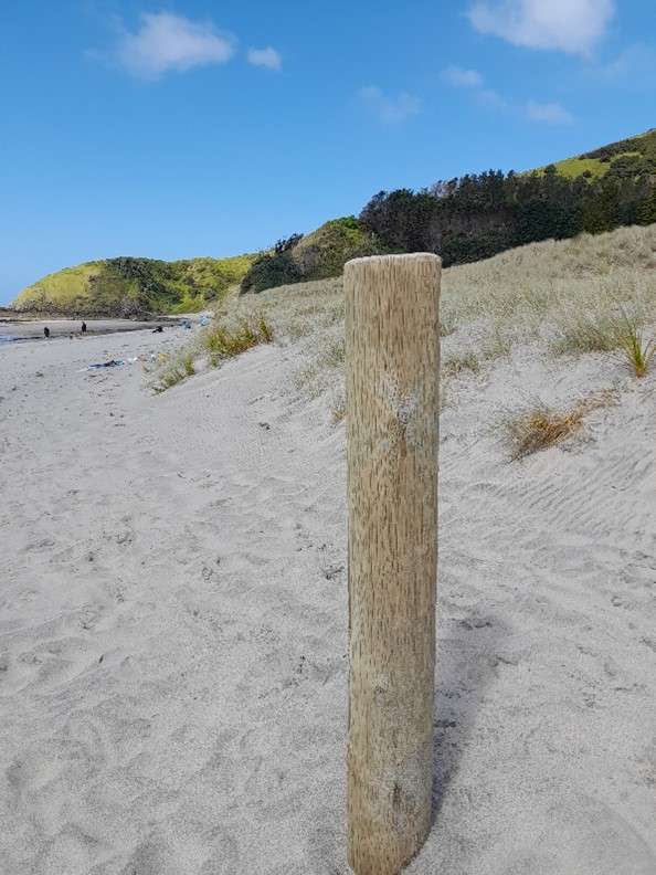
Starting point is at the wooden post on the sandy beach at end of pathway to Breamhead
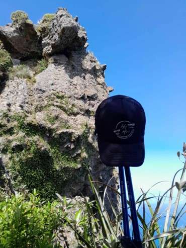
Finish is at the top of the climb to your left, cluster of rocks .
Approx distance 5.12km elevation gain 527m
Bit of everything with this route, starting on the sand , follow the waters edge to the end, climb up onto a grassy hill leads you up into the bush via an obvious route. (note: avoid the higher route option) Wet and slippery in some areas, shallow rooted. Take care coming down. Toilets at carpark, no drinking water.